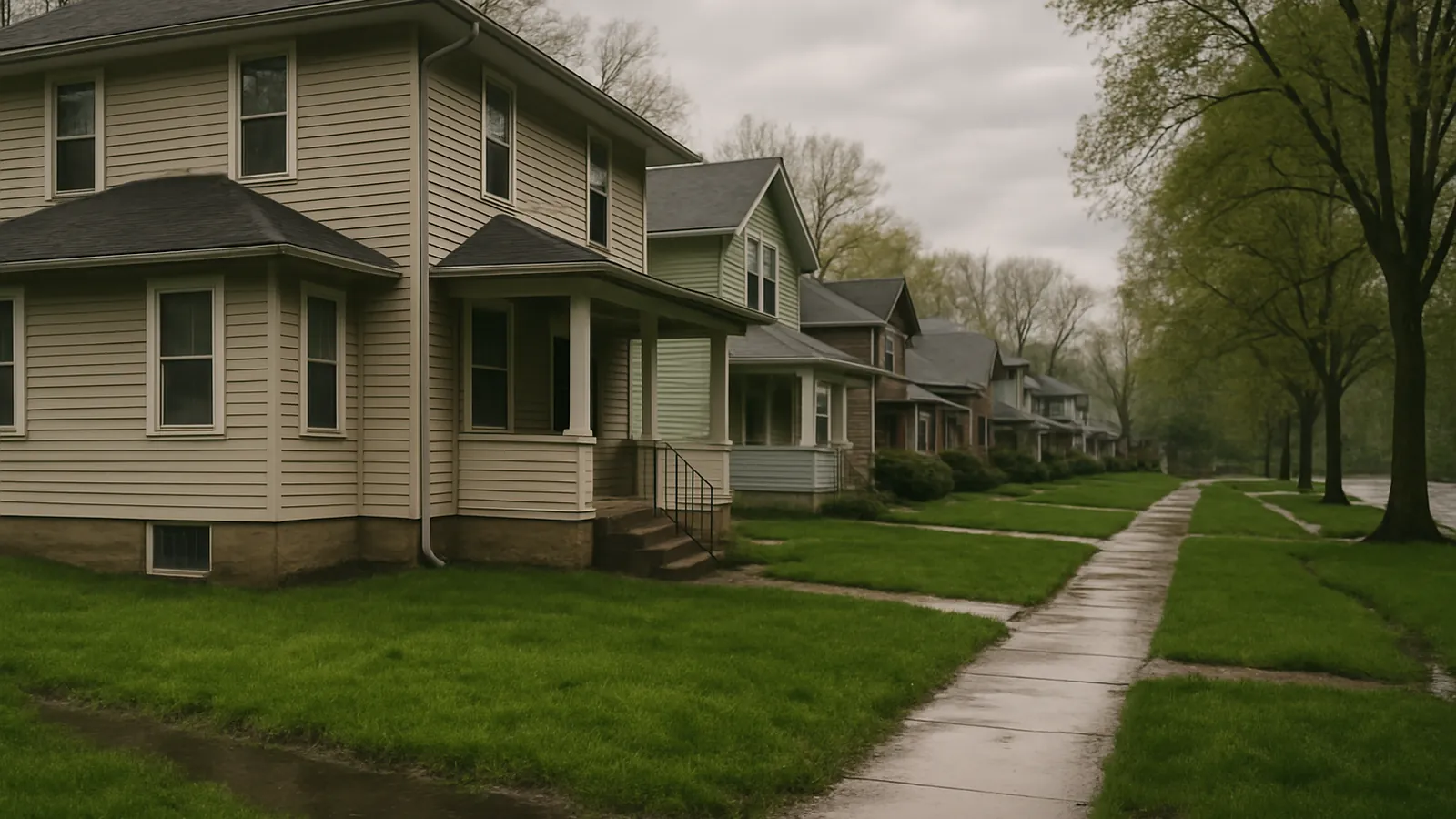
Fort Wayne Foundation Co. serves Fort Wayne plus New Haven, Huntertown, Leo-Cedarville, Woodburn, Grabill, Auburn, Columbia City, Bluffton, and Decatur — free measured evaluations across all of them, with travel quoted honestly rather than hidden in the line items.
New HavenHuntertownLeo-CedarvilleWoodburnGrabillAuburnColumbia CityBlufftonDecatur
Every town we cover, and what changes there
Each of these has its own page, because the ground and the housing stock are not the same across the region. The short version:
New Haven — Downstream of the confluence, on lakebed flat
New Haven sits east of Fort Wayne along the Maumee River, on the flat plain the glacial lake left when it drained — and flat lakebed ground is a specific foundation condition, not just easy terrain. Read what that means for a New Haven property.
Huntertown — Fast growth means graded ground
Huntertown has absorbed a large share of Allen County's recent residential growth, and rapid subdivision development means substantial earthwork: cutting high spots, filling low ones, producing level pads on ground that wasn't level. Read what that means for a Huntertown property.
Leo-Cedarville — River-adjacent lots and a shallow water table
Joseph River, one of the two rivers that meet in Fort Wayne to form the Maumee, and river proximity changes the shape of the basement problem. Read what that means for a Leo-Cedarville property.
Woodburn — The Black Swamp is still under there
Eastern Allen County toward Woodburn sits on the western edge of what was the Great Black Swamp — the vast wetland left behind on the glacial lakebed, which 19th-century settlers made farmable by installing drainage tile on an enormous scale. Read what that means for a Woodburn property.
Grabill — Older buildings, older foundations, honest construction
Grabill's character comes from age and from the working farm country around it, and its foundations reflect both. Read what that means for a Grabill property.
Auburn — A century of construction practice on one street
Auburn's identity is tied to its automotive history — the town that built Auburns, Cords, and Duesenbergs — and its housing stock records the same span. Read what that means for an Auburn property.
Columbia City — Where the terrain starts to roll
Head west from Fort Wayne and the flat lakebed gives way to the moraine-and-kettle country that gives northeast Indiana its lakes — ground the glacier left as ridges, hollows, and pockets rather than a level plain. Read what that means for a Columbia City property.
Bluffton — The other side of the divide
Water falling on the north and east side leaves by the Maumee to Lake Erie; water falling south and west of it enters the Wabash and travels to the Ohio and the Mississippi. Read what that means for a Bluffton property.
Decatur — Upstream on the St. Marys
Marys River, which runs north from here to meet the St. Read what that means for a Decatur property.
The ground changes as you cross this region
This service area spans genuinely different ground, and it shows up in every estimate. East toward New Haven and Woodburn, the old glacial lakebed runs flat and wet — former Black Swamp country, farmable only because it was tiled, where water has nowhere to go and drainage leads every scope. North and northeast, Huntertown's new subdivisions bring the graded-fill question while Leo-Cedarville and Grabill sit on river corridor and farm ground respectively. West toward Columbia City, the flats give way to the moraine-and-kettle terrain that produced northeast Indiana's lakes — real slope, real variation lot to lot. South toward Bluffton and Decatur, you cross into the Wabash and St. Marys corridors, with more natural fall and a river-driven water table.
That variation is why we never quote a standard system across the region. Each page above reads its own ground — and the evaluation reads your specific lot.
Basements everywhere, and that's the constant
Across all ten communities the same fact holds: this is full-basement country, and the basement is what stands between your house and ground that holds water. What differs is the source. River-corridor lots in Leo-Cedarville, Decatur, and parts of Bluffton fight groundwater, so their systems are specified for sustained duty with backup power. Flat lakebed lots in New Haven and Woodburn fight standing surface water, where grading and downspouts often carry most of the fix. Sloped lots around Columbia City fight concentrated runoff, best intercepted above the house.
Somewhere between towns, or just outside this list? Ask — regional travel gets quoted honestly.
What it means when we say we cover a town
It means the free measured evaluation happens at your address on the same terms it would in Fort Wayne — the same laser floor survey and crack measurements, the same written scope afterwards, and travel quoted as its own line rather than buried inside the others. If a job is far enough out that travel is material, you will see that number before you agree to anything.
Foundation work is scheduled, not urgent — which means an outlying address costs you nothing in response time.
These 9 communities are where we work regularly enough to know the ground before we arrive. That is the honest boundary: not a radius drawn on a map, but the places we have looked at enough properties to recognise what we are seeing.
Coverage questions
Do you charge extra to come out to the outlying towns?
Travel is quoted as its own line when it applies, and you see it before agreeing to anything. It is never folded into the price of the work, because a scope you cannot read is a scope you cannot compare against anyone else's.
My address is not on the list. Do you still come?
Usually, and it is worth asking. The list is the area we work regularly enough to know the ground in advance, not a hard boundary. Somewhere between two of these towns is almost always a yes.
Is the visit really free, everywhere on this list?
The visit is really free, everywhere on this list, on the same terms in New Haven as in Fort Wayne. You get the laser floor survey and crack measurements and the written findings whether or not you go ahead, and whether or not we end up quoting the work.
Why does the price differ between towns for the same job?
Because the ground does. Each town page above explains what changes locally, and the quote follows what the visit measures at your specific address rather than an average for the region.
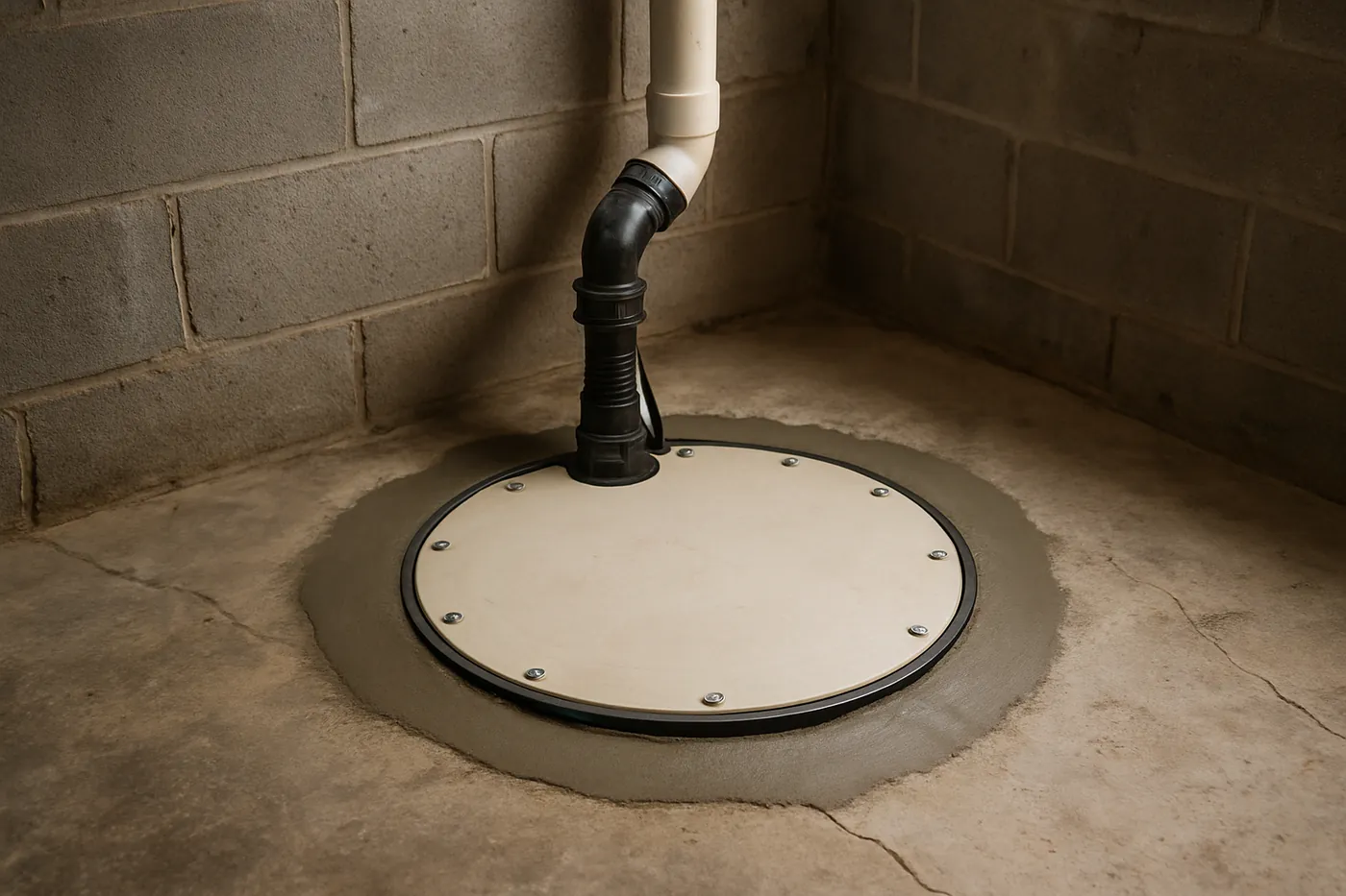
Get a free Fort Wayne foundation evaluation
Tell us what the basement is doing — water at the cove joint, a wall bowing inward, a horizontal crack in block, floors going out of level — and we’ll schedule an evaluation with photos, wall measurements, and floor elevations. We reply the same business day.